Following graph upper right of NSIDC web page after Arctic Ice.

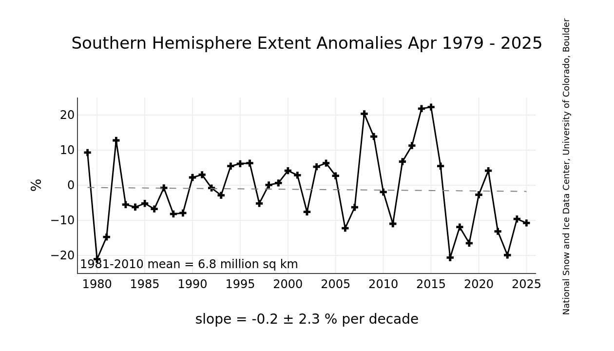
NSIDC southern hemisphere sea ice extent, 1979-2012
From web page, they say Arctic ice changes are an index of "climate change." (Below). Do they mean natural climate change or catastrophic man caused climate change? But they don't say that about Antarctic ice. They don't explain why Antarctic Ice does NOT follow "climate change" (whether natural or catastrophic man-caused):
"About the Sea Ice Index"
"These satellite-derived images depict current sea ice conditions and trends. Long-term changes in Arctic sea ice are an index of climate change. Southern Hemisphere sea ice images are also available. For more information about current conditions and their significance, see Arctic Sea Ice News and Analysis.
Sea Ice Index Documentation"
==================================
As of 5/1/12, From NSIDC website:
"Antarctic sea ice spread by strong winds"
"The sea ice cover that surrounds the continent of Antarctica has been higher than average through most of the Southern Hemisphere summer (December to March). Ice extent declined much more slowly than usual in late November and remained above average through December and January, although it did not reach record highs for those months. At its minimum extent in March, Antarctic sea ice remained above average. Ice extent was the highest in the Weddell Sea and the northwestern Ross Sea.
The high ice extent likely stemmed from unusually strong winds that circled the continent of Antarctica during most the southern summer. These circumpolar winds tend to push the ice out from the continent, increasing the extent of the ice, although not necessarily the volume. Air temperatures in December and January were close to average over most of the sea ice-covered water. Researchers approximate the circumpolar wind intensity by an index called the Southern Annular Mode (SAM). A positive value for SAM indicates strong circumpolar winds around the continent; negative values indicate weaker winds. This index was at a record high for the two months of December 2011 and January 2012, at the same period of the higher-than-normal seasonal extents. For more information on Antarctic sea ice, see the NSIDC Icelights article: Sea ice down under: Antarctic sea ice and climate."...
The site adds the following about ice thickness but only mentions Arctic:
"Cryosat provides new ice thickness data"
"The NASA ICESat satellite recorded Arctic sea ice thickness between 2003 and 2008, but the mission ended in 2009, and the follow-on mission is not expected to begin until 2016. In the meantime, NASA is filling some of the data gap with airplane-borne instruments as part of Operation IceBridge.
The European Space Agency (ESA) has released initial data from the radar altimeter on their CryoSat-2 satellite. Last week, ESA released the first calibrated maps of Arctic sea ice thickness capturing thickness changes through the winter from October 2010 through March 2011. In the coming years, CryoSat-2 will provide monthly fields of thickness that will allow scientists to track the evolution of the ice cover. For more information on CryoSat-2 and an animation of the thickness maps, see: http://www.esa.int/SPECIALS/Cryosat/SEMU55NW91H_0.html."
.

No comments:
Post a Comment